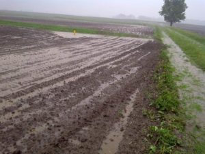
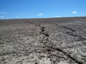
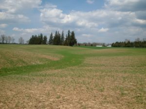
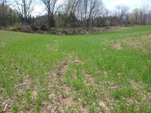
It’s the time of year when you can see the impact of erosion on farm fields across the province. Whether it’s subtle (Figure 1) or obvious (Figure 2), erosion affects soil by reducing fertility, decreasing organic matter and lowering productivity. With National Soil Conservation Week happening from April 19th to 25th, I wanted to highlight some strategies Ontario farmers are using to battle soil erosion on their farms.
Strip-till and erosion control structures: Oxford County
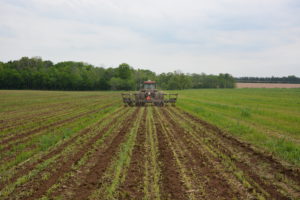
This dairy farmer in Oxford County farms highly erodible silt loam soils. He raises no-till wheat and soybeans, but has found that tillage is necessary for a productive corn crop. He uses spring-only strip-till, sometimes in combination with a winter cereal harvested for green feed (Figure 3). On his soil type, he’s found planting within a day of strip-tilling gives best results.
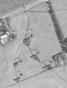
Given his soil and landscape, agronomic practices alone aren’t enough. He has worked with his local conservation authority to install water and sediment control basins (WASCoBs) that help hold up water during heavy rainfall events (Figure 4). Together, these parts of his soil management system help minimize erosion and maintain productivity on his farms.
Strategic cover crop seeding following soybeans: Brant County
Protecting soil from the impact of rainfall and runoff is the first step to minimizing water erosion, but it can be difficult after a low-residue crop like soybeans. This Brant County farmer, who doesn’t seed wheat after all his soybean acres, drills a rye cover crop immediately after harvest to help stabilize the soil. He runs the drill twice over low areas where water concentrates to help keep soil in place (Figure 5). Although it doesn’t do a perfect job, when combined with reduced tillage practices, it definitely has a positive impact (Figure 6).
Resources
There are resources to help you address erosion on your farm. Check out our easy-to-read Best Management Practices Series, which include titles such as Erosion by Water, Winter Cover Crops and Wind Strips. For more detailed reading, download OMAFRA’s factsheet: Soil Erosion – Causes and Effects.
If you’re looking for interactive tools, OMAFRA recently released the Water Erosion Potential Map on Ag Maps. It provides a 2-dimensional estimate of water erosion based on soil type, topography and crop and tillage practices. You can find it on the Ag Maps website, under the Markup and Printing tab. Step-by-step instructions can be found in this article by Sebastian Belliard or in this video from OMAFRA’s Water Quality Engineer, Kevin McKague.
Finally, consider cost-share opportunities with Ontario Soil and Crop Improvement Association or your conservation authority to help you put strategies in place that will help keep your soil where you want it – on your farm.

Comments are closed.